Page Last Updated: 05/13/2026: Current Chief’s List updated, letter from the booshway and updated flyer added.
Welcome to Seneca, Oregon!
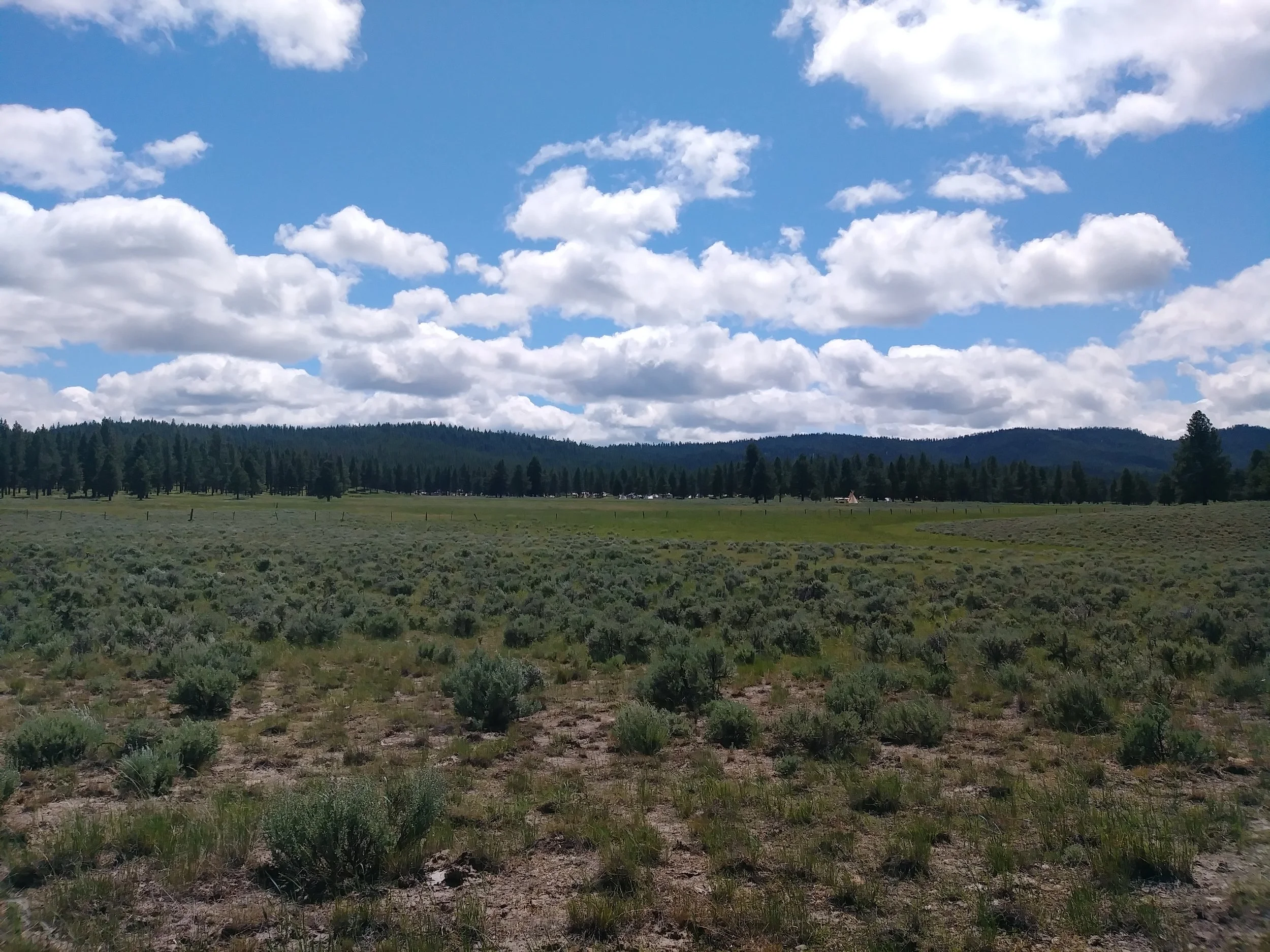
We are back again on the Southworth Brothers Ranch in beautiful Seneca, Oregon.
_.-=-._.-=-._.-=-._
MARK YOUR CALENDARS
June 19-26, 2026
Pre-registration deadline——Postmarked by May 16, 2026
-Get the 2026 event flyer here-
=-=-=-=-=-=
REGISTRATION FORMS:
- INDIVIDUAL/FAMILY REGISTRATION FORM -
- HORSE CAMP REGISTRATION FORM -
- TRADER REGISTRATION FORM -
-=-=-=-=-=-=-=-=-
Letter from the Booshway:
“Howdy the Camp!
As June quickly approaches, I am filled with so much excitement to join you all in Seneca on Southworth Brothers Ranch once again. It's looking like we can expect mid 60s during the day and lower 30s overnights. There will be firewood on site to keep our stoves warm, Though the entire state has experienced a rather dry winter, thankfully, the ground is just damp enough in Seneca that we can expect to be without fire restrictions. There is also potable water on site as well. Our journeys to visit one another bring us from many directions, and I know we are all feeling the painful prices at the pump, but I want to express my deep appreciation for your company at PPR and your continued support as devoted patrons to this event that is living history! Travel safely, dear friends! We will see you under the stars of Bear Valley very soon! RON-DAYY-VOUUSS!” - Boots
-=-=-=-=-=-=-=-=-=-
BOOSHWAY:
Kirsten "Boots" Ashcroft
Pryor.kirsten@gmail.com
SEGUNDO:
Vacant
Event Purser:
Ann “Shortcake” Rumbaugh
shortcake2rs@gmail.com
Chief List
NOTE: These rendezvous’ run on volunteers. Any amazing PPR couldn’t have happened without the efforts and hard work of many people. If you have time or skills to spare, please contact one of our Chiefs to offer yourself for a day or two. Many hands make the workload lighter!
_.-=-._.-=-._.-=-._
GATE CHIEF:
Gloria Schmidt
mayflower1820@gmail.com
FACILITIES CHIEF:
Mark Rumbaugh
twors@gmail.com
TRADE CHIEF:
Margaret Evenson
360-652-4749
marken5@frontier.com
If you want to sell at PPR, either as a full Trader or as a Blanket Trader, reach out to the Trade Chief with any questions.
Trader Rules and Guidelines are located -HERE-
PARKING CHIEF:
Gary “Tatonka” Schmidt
mayflower1820@gmail.com
--IN NEED OF VOLUNTEERS--
Looking for people to help with directing traffic as people start to arrive before the opening ceremonies.
HORSE CAMP CHIEF:
John Van Paepeghem
208-484-5890
Want to bring your horse or if you are interested in camping with the rest of Horse Camp? Reach out to the Horse Camp Chief as soon as possible before the event to coordinate.
SHOOTING CHIEF:
Jamie Richards
jamesjohnrichards@gmail.com
--IN NEED OF VOLUNTEERS--
Looking for people to take a shift at the Shooter Shack and/or take a shift at the range. Help setting up and taking down the trail would be greatly appreciated. The more people volunteer, the less each person has to do. Reach out to the Shooting Chief as soon as you can commit, even after the start of the event.
Shooting Rules are located -HERE-
ARCHERY CHIEF:
Vacant
All archers are welcome. Bring your equipment for a class before competition begins.
Archery Rules are located HERE
HAWK AND KNIFE CHIEF:
Vacant
--IN NEED OF VOLUNTEERS--
Help setting up and taking down the trail would be greatly appreciated. The more people volunteer, the less each person has to do. Reach out to the Hawk and Knife Chief as soon as you can commit.
SEMINAR CHIEF:
Jess Anders
406-217-5177
jessanders4@outlook.com
From your Seminar Chief:
“I’m honored to serve The People in coordinating various Seminars for this 1830-1870 Living History event. Seminars play an important role in educating others on various topics pertaining to this time period. This was a time when Mountain Men harvested furs and packed them to nearby Forts in hopes of making their fortune. This was a time when families headed west to stake a piece of land and defend it against hostile Indians. There is so much history during this time and we are hoping people will volunteer to host a seminar and share their knowledge about the Fur Trade and other life skills for this period. Can anyone demonstrate skinning an animal, brain tanning, arrow making, knife sharpening, moccasin making, Indian sign language and other skills that were necessary. Can anyone talk about Women and the Fur Trade? Even discussing the Journal entry’s from Maximilian or Chardon would be educational and fascinating. They lived on the frontier during the 1830’s. Your help in sharing your knowledge would be appreciated by many. Lets work together to make this a great Rendezvous.
Please contact me to pick your time and day for your seminar.
Those of you who have put on seminars in the past will be contacted by May 18th but if I haven’t reached out to you by then, please contact me.
Thank You all Very Much.”
--IN NEED OF VOLUNTEERS--
Anyone with a skill or a history to present on, reach out to the Seminar Chief. Help with setting up and tear-down of the Seminar Tent is greatly appreciated.
KIDS CHIEF:
Raven Fraser
lorindaslair@yahoo.com
--IN NEED OF VOLUNTEERS--
Anyone who is looking to give back to the youth of our community, to inspire future rendezvous’ers to keep this movement alive, contact the Kids Chief to see what you can do to help. Some options include helping with games and activities, helping teach skills, donating items for blanket prizes and game prizes, and assisting the adults in set-up and tear-down.
CHIEF DOG SOLDIER:
Pending
--IN NEED OF VOLUNTEERS--
Anyone looking to take a shift during the event reach out to the head Dog Soldier. Additional duties include nightly fire watch.
FIRST-AID CHIEF:
Jackie Richards
jamiesgirl@gmail.com
--IN NEED OF VOLUNTEERS--
Anyone with basic first aid experience and who are willing to take a shift holding the walkie-talkie, responding to calls for assistance and providing aid when appropriate, are encouraged to reach out to the First Aid Chief as soon as possible, even after the event has started.
-=-=-=-=-=-=-
Directions
Seneca is a city in Grant County, Oregon. It is located in the Blue Mountains about 23 miles (37 km) South of Canyon City, on U.S. Route 395, on the edge of the Malheur National Forest. Seneca is in Bear Valley at the Northern edge of the Great Basin. Early homesteaders moved into this area in the early 1800’s.
The Rendezvous site is located outside of Seneca off of Hwy 395 between John Day, and Burns. Signs will be posted from the town of Seneca to the Rendezvous near Shirt Tail Creek.
FROM THE PRESIDIO OF MONTEREY IN CALIFORNIA HEAD NORTH NORTHEAST 736 MILES
FROM FORT BRIDGER, WYOMING HEAD WEST 685 MILES
FROM ST. LOUIS, MISSOURI HEAD WEST NORTHWEST 1,918 MILES
FROM BENT’S FORT, COLORADO HEAD WEST NORTHWEST 1,349 MILES
FROM FORT VANCOUVER, WASHINGTON HEAD SOUTH SOUTHEAST 300 MILES
FROM FORT UNION, MONTANA HEAD SOUTH SOUTHWEST 1,058 MILES
Temperature averages for June - High -70 degrees, Low 36 degrees. Average precipitation 1.08”, average days in June with precipitation 7 days (Hopefully not our 7 days) Elevation: 4,690
